AIS and satellite data could change tug and barge market intelligence because the sector has always had a visibility gap. Ocean shipping analytics can often track a named vessel, cargo trend, port call, or route shift with relative confidence. Inland and coastal towage is harder. A towboat may broadcast AIS, but the barges in tow may not show up as individual commercial units, and the real market value is often hidden in the tow size, fleet positioning, lock delays, fleeting activity, terminal congestion, cargo seasonality, and route behavior. That gap is starting to narrow. U.S. Coast Guard AIS rules cover many commercial towing vessels, including towing vessels of 26 feet or more and more than 600 horsepower, while NOAA and Marine Cadastre provide AIS vessel traffic datasets that help map U.S. vessel movement by type, including tow traffic. Recent research also shows how AIS features and satellite imagery can be combined to estimate barge count, classify vessel activity, and improve inland waterway visibility. For tug owners, barge operators, brokers, charterers, ports, cargo shippers, insurers, and investors, this means market intelligence may move from phone-call visibility toward data-supported visibility.
AIS and satellite data can expose the hidden barge economy
Tug and barge markets have always been information-heavy but visibility-light. The next intelligence layer will not replace brokers, dispatchers, pilots or port operators. It will give them a stronger picture of where capacity is moving, where delays are forming, which corridors are tightening and which operators may be better positioned before the market feels it.
Horsepower threshold tied to many U.S. AIS carriage requirements for commercial towing vessels that are 26 feet or more in length.
Marine Cadastre vessel transit count datasets summarize vessel movement through geographic grid cells, helping analysts map traffic density by vessel type.
Mean absolute barge-count error reported in recent proof-of-concept research using AIS-derived features and satellite-scene annotations.
Reported F1 score for vessel classification in recent inland waterway research combining satellite imagery and AIS-linked analysis.
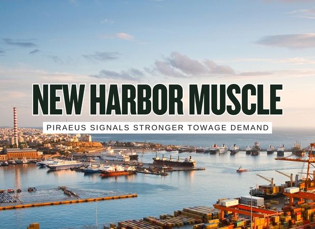
The commercial shift
AIS tells the market where many towing vessels are moving. Satellite imagery can help verify what AIS does not fully reveal, such as barge count, staged fleets, covered versus uncovered barges, directionality, non-broadcasting activity and congestion at strategic river points. Together, they can turn tug and barge intelligence into something closer to a live market map.
Sources: USCG AIS requirements, NOAA vessel traffic AIS, Marine Cadastre vessel traffic, AIS vessel transit counts, Barge tow size research, Satellite and AIS fusion research.
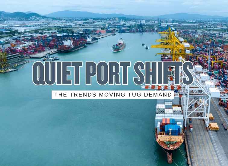
The old visibility model had blind spots
Tug and barge intelligence has traditionally relied on operator relationships, dispatch knowledge, terminal calls, river condition reports, lock information, customer conversations, broker memory and local observation. Those sources still matter. The problem is that they are fragmented. A single dispatcher may understand one fleet. A broker may understand one commodity lane. A terminal may understand its own queue. A port may understand its own berth pressure.
AIS and satellite data offer a different view. They can turn scattered movement clues into patterns: tow speed, corridor density, waiting behavior, lock approach queues, fleeting activity, barge staging, terminal dwell, weather recovery and route shifts. The result is not perfect certainty. It is a stronger market signal.
Data path from vessel movement to market signal
9 ways AIS and satellite data could change tug and barge intelligence
① Capacity tracking becomes less dependent on rumor
In a tight barge market, the most valuable question is often simple: where is usable capacity? AIS can show towboat movement and location. Satellite imagery can add context around staged barges, rafted barges, fleet areas and visible congestion.
This does not reveal every commercial detail, but it can reduce the gap between anecdote and evidence. A broker, shipper or fleet owner can compare reported tightness against actual vessel movement and staging behavior.
② Barge-count estimation improves freight visibility
AIS generally tracks the towing vessel, not every barge in a tow. That matters because a towboat pushing two barges and a towboat pushing thirty barges can represent very different market capacity. Recent research shows that AIS-derived movement features and satellite-scene annotations can help estimate tow size.
Better barge-count estimation could improve lane-level freight analysis, lock planning, port throughput estimates, market forecasting and fleet utilization studies.
③ Lock and choke-point intelligence gets sharper
Locks, bridges, river bends, fleet areas and terminal approaches can determine the real speed of a barge move. AIS tracks can help identify slowing, waiting, queuing and repeated congestion around these choke points.
When combined with lock performance data, weather, water levels and scheduled maintenance, vessel movement can become an early warning layer for shippers and operators.
④ Fleet redeployment becomes easier to spot
Tug and barge markets can shift quickly when grain, aggregates, refined products, chemicals, construction demand, export programs, storms or repair cycles change the lane balance. AIS movement patterns can reveal when vessels are repositioning toward a stronger market.
For competitive intelligence, the important signal is not one vessel. It is repeated movement across a corridor or a change in historical behavior by a known fleet.
⑤ Terminal performance becomes more visible
Tug and barge intelligence is not only about the vessel. Terminal dwell time, staging, approach delays, fleeting congestion and repeated short moves can reveal whether a terminal is absorbing traffic smoothly or creating a bottleneck.
That matters for cargo owners and shippers because terminal performance can shape total delivered cost. A lower towage rate may not help if the vessel spends too long waiting, shifting or recovering from berth congestion.
⑥ Insurance and risk pricing can become more behavior-based
Insurers and risk teams can use movement patterns to understand operating exposure: congested waterways, nighttime maneuvering, high-traffic crossings, frequent close-quarter movements, sensitive terminals, weather delays and repeated lock or bridge interactions.
This does not mean AIS data should be used carelessly against operators. It does mean historical movement behavior can support better risk segmentation if interpreted with marine context.
⑦ Chartering and brokerage gain a data layer
Brokers and charterers often work from relationships, memory, phone calls and operator updates. AIS and satellite-derived intelligence can add a second layer: who is near the cargo, who is actually moving, who appears fully committed, which fleet areas are thinning and which corridors are slowed.
The best brokers will not be replaced by data. They will use data to ask better questions faster and support customer advice with stronger evidence.
⑧ Asset investment gets better demand evidence
Tug and barge owners deciding whether to buy, build, repower or relocate assets need better proof of demand. AIS and satellite data can show real traffic density, fleet utilization signals, congestion growth, seasonal patterns and underserved lanes.
This can improve investment discipline. Instead of relying only on customer interest or historical intuition, owners can compare potential asset decisions against observed movement patterns.
⑨ Dark activity and data gaps become part of the analysis
AIS is cooperative. It depends on equipment, signal quality, coverage, correct static data and proper use. Satellite imagery can help validate or challenge the AIS picture by showing vessels, barges, staged fleets or movement that the AIS layer does not fully explain.
In commercial intelligence, gaps can be signals too. Missing tracks, repeated signal breaks, mismatched vessel identity, unknown staging or visual activity without matching AIS can all deserve closer attention.
Market intelligence layers to combine
Movement layer
AIS tracks Speed Course StopsThis layer shows where towboats and other vessels are moving, slowing, stopping, waiting or repeating familiar routes. It is the foundation for corridor analysis.
Visual confirmation layer
Satellite imagery Barge count Fleet staging Covered bargesThis layer helps identify what AIS alone may not show clearly, especially the number and type of barges around river corridors, terminals and fleeting areas.
Infrastructure layer
Locks Bridges Terminals Water levelsThis layer explains the operating environment behind the movement. A tow may be slow because of traffic, lock delay, river conditions, berth congestion or terminal timing.
Commercial layer
Rates Cargo season Fleet owner Contract cluesThis layer turns traffic evidence into market intelligence. The same movement pattern can mean different things depending on commodity, customer, region and contract structure.
Barge market signal strength checker
This simple tool estimates whether AIS and satellite data are likely to produce weak, useful, strong or high-confidence market intelligence for a specific corridor or port area. It is a planning guide, not a prediction engine.
Practical playbook for tug and barge teams
Commercial takeaway for the tug and barge market
AIS and satellite data will not eliminate relationship-based market knowledge. They will make that knowledge easier to test, scale and defend. Tug owners can monitor utilization. Brokers can qualify capacity faster. Shippers can see delay risk earlier. Ports can understand congestion more clearly. Investors and insurers can study behavior instead of relying only on reported exposure. The barge market will still be local, operational and relationship-driven, but the intelligence layer around it is becoming much sharper.